What kind of round and point-to-point hikes tips are you looking for in Ausseerland Salzkammergut?
Hiking
Lake circuits, alpine paths, summit goals and running routes – the Ausseerland reveals itself best on foot. Starting points reachable by bus and train.
151
Point to point tour hiking
Set off, arrive, climb aboard: these tours end where the next bus or train is already waiting. No backtracking, no turning round – just onwards through the valley.
60Don't miss these!
Our tips for hikes – handpicked and all easily reachable by bus & train without many transfers.
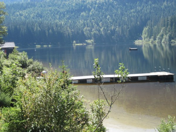
BergeSeen Trail 17: Bad Aussee - Bad Mitterndorf
Long but easy valley and meadow hike along forestry roads and marked forest trails.
Details & route planning →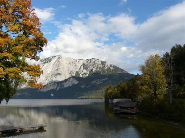
Baby buggy - tour: Promenade "Klaus Maria Brandauer"to Altaussee
Shady river hike along the Altausseer Traun, upstream, without significant elevation changes.
Details & route planning →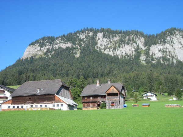
BergeSeen Trail 18: Bad Mitterndorf - Tauplitzalm
Valley hike along side streets, forestry tracks and a path, then the route ascends to the Tauplitzalm over well-marked forest trails.
Details & route planning →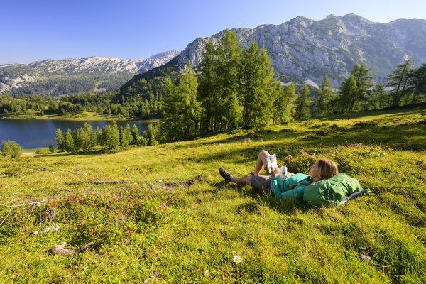
Stage 04 From Glacier to Wine North Route Bad Mitterndorf - Tauplitzalm
From Bad Mitterndorf in Ausseerland Salzkammergut, this stage of the Hiking Trail From Glacier to Wine leads to the Tauplitzalm, one of the most beautiful…
Details & route planning →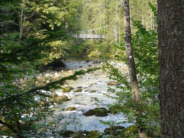
Koppentalweg - path through the wilderness
An enjoyable, varied and easy hike with ascents and descents, a long passage in the valley of the Koppentraun and a total of 13 trail stations.
Details & route planning →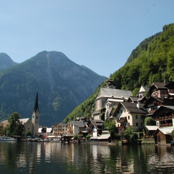
Steinitzenalm - Hallstatt | Dachstein Circular Hiking Trail: Stage 06
From the Steinitzenalm along the Traun and by ferry across the lake to Hallstatt.
Details & route planning →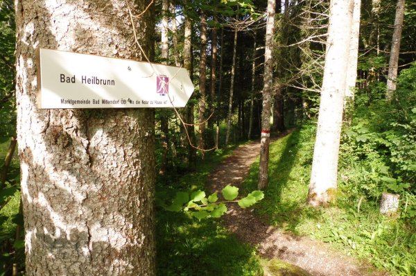
Bad Mitterndorf-Heilbrunn-Salza
From Bad Mitterndorf tennis hall (connection via center and parking Grimminghalle) via Neuhofen-East to Krunglbach and Bad Heilbrunn/Salzastausee. Return along…
Details & route planning →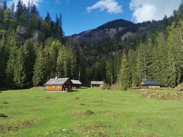
Hike to the Zimitzalm
A cozy, shady forest hike, past a waterfall to the Zimitzalm with a stop in an alpine hut. The circular route continues via the Schweiberalm.
Details & route planning →
BergeSeen Trail 17: Bad Aussee - Bad Mitterndorf - reversed
Long but easy <b>valley and meadow hike</b> along forestry roads and marked forest trails.
Details & route planning →
Baby buggy - tour: Promenade "Klaus Maria Brandauer"to Altaussee - reversed
Shady river hike along the Altausseer Traun, upstream, without significant elevation changes.
Details & route planning →
BergeSeen Trail 18: Bad Mitterndorf - Tauplitzalm - reversed
<b>Valley hike</b> along side streets, forestry tracks and a path, then the route ascends to the Tauplitzalm over well-marked forest trails.
Details & route planning →
Stage 04 From Glacier to Wine North Route Bad Mitterndorf - Tauplitzalm - reversed
<p>From <strong><a href="https://www.steiermark.com/en/Ausseerland-Salzkammergut/Region/Cities-Villages/Bad-Mitterndorf_c_841505">Bad…
Details & route planning →Looking for more tips in Ausseerland Salzkammergut? On our homepage, you'll find all the categories and places to visit – all easily reachable by bus and train.
Plan your trip now Pick your destination, we'll find the best connection – based on current transit timetables.Frequently asked questions about hikes in Ausseerland Salzkammergut
How do I find hikes reachable by bus & train with NaturTrip Ausseerland Salzkammergut?
Want to hike without a car and save both the climate and your nerves? With NaturTrip Ausseerland Salzkammergut you can easily find hikes with bus and train access – tailored to your location.
Visit ausseerland.naturtrip.app and choose a category such as Hiking, Point to point tour hiking. Then enter your starting point (e.g. Bad Aussee) or use automatic location detection. On the interactive map you immediately see which tours are easy to reach by public transport from your location.
"Easy to reach" means for NaturTrip:
- maximum 2 transfers
- at most 20 minutes walk to the stop
- at most 20 minutes walk from the stop to the trailhead
Use the filter to refine your search – for example by difficulty or tour duration, but also by travel mode, maximum transfers or travel time for your journey.
That way you quickly find tours that are realistic and relaxing to do without a car.
What types of hikes are available on NaturTrip Ausseerland Salzkammergut?
On NaturTrip Ausseerland Salzkammergut you find a wide selection of hikes for every level:
- easy tours with little elevation gain
- challenging hikes
- family-friendly routes with adventure value
- themed hikes (nature, culture, history)
All tours come from regional tourism organisations. What this means for you:
- certified quality
- official and well-signposted trails
- no user-generated content
So you can rely on solid, trustworthy tour planning.
Are there also point-to-point hikes (A to B) reachable by public transport?
Yes – NaturTrip is especially strong at point-to-point tours (A to B).
This means: you start at one location and end somewhere else – without having to walk back.
How it works: If you're looking for e.g. a 3-hour hike, NaturTrip only shows tours where:
- the starting point is well reachable by bus and train
- there is still a suitable return connection at the end after the duration of the hike
Advantage: Public transport gives you more flexibility than a car – you don't have to return to your starting point but can discover new paths.
Which travel modes does NaturTrip support in Ausseerland Salzkammergut?
In Ausseerland Salzkammergut NaturTrip lets you choose between the following travel modes: bike, public transport (bus & train), walking.
This way you'll find round and point-to-point hikes that match your preferred way of getting around – whether climate-friendly by bus & train, by bike, or combined.
You can change the travel mode any time in the filter – NaturTrip then only shows tours that are realistically reachable with your preferred mode.
How to discover car-free hikes in 5 steps
Finding and planning car-free round and point-to-point hikes with NaturTrip is easier than you think. Reach them comfortably by bus and train – without transfers if you like.
-
Open NaturTrip Ausseerland Salzkammergut
Go to the homepage and select a category from the hikes section.
-
Enter your starting point
Enter your accommodation, your home, or your current location as the starting point.
-
Results list with public-transport overview
NaturTrip Ausseerland Salzkammergut now shows you all hikes that are well reachable by bus & train from your location at the current time.
Including an overview of:
- how long it takes to reach each suggested tip
- which modes of transport you'll use
- how many transfers are required
-
Optional: adjust the filter settings
Departure time settings:
- Date and time can be set in the future.
hikes settings:
- Difficulty: easy, moderate or difficult
- Duration: 30 minutes up to 10 hours
Bus & train arrival settings:
- Maximum travel time: 15 minutes up to 2.5 hours
- Maximum transfers: direct connection, max. 1 transfer, or max. 2 transfers
- Travel mode: bike, public transport (bus & train), walking
-
Pick hikes and check the connection
Found suitable hikes in the results list? Simply click – in the details you'll find the route description, photos, the GPX track for download and further tour properties.
As a final step, click the "Arrival" button to see all bus and train connections for the hikes from real-time timetable data – clearly displayed on the map and as a detailed journey timeline showing all stops, transfers, walking times and departure times.
Just pick your tour and head out – climate-friendly, no car needed!
Go hiking by bus & train from the main towns in Ausseerland Salzkammergut
Many round and point-to-point hikes in Ausseerland Salzkammergut are easily accessible by public transport. Not just from larger towns – there are direct connections to popular trails from many stops. Go hiking by bus & train…